


The OHT is a 285-mile National Recreation Trail that stretches across one of Arkansas’ most scenic regions, the Ozark Plateau. Our three-part topographic Backcountry Maps, Thru-Hiker Series, covers it in dramatic detail from the highest, rugged ridges in the west to gently rolling hills in the north. These three maps are the only recreationally focused topographic maps of the Ozark National Forest in Arkansas. No matter what section of the OHT you want to hike, or which part of the forest you want to explore, these maps will get you there, beautifully.
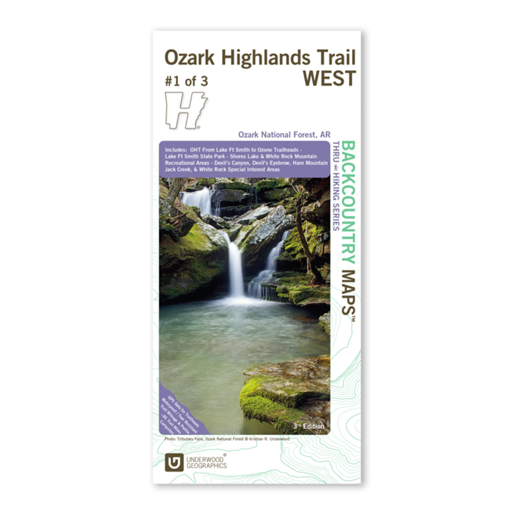
Ozark Highlands Trail West, Map 1 of 3 (3rd Edition)
The western portion of the OHT is by far one of its most popular sections. This map covers nearly 85 trail miles from Lake Fort Smith State Park to Ozone Campground. We’ve also included roughly 21 miles of side/spur trails around White Rock, Shores Lake & Spy Rock .
A vast majority of this section is within the Mighty Mulberry River watershed and offers breathtaking views of the rugged valley below. Within the coverage area, one will also find recreational opportunities in Lake Fort Smith State Park and other parts of the National Forest and its Special Interest Areas, including Devil’s Canyon, Devil’s Eyebrow, Hare Mountain, Jack Creek, and White Rock.
Details
Duplexed map printed on 4.2 mil HopSyn waterproof/tearproof paper that includes GPS data for trailheads, trail mileage, trail profiles, campsites, scenic views, points of interest, waterfalls, area geology, and much, much more.
Size: 38.25” x 25.75”, Folding to 4.25” x 9.25”
Scale: 1:37,500


