


262
• Waterproof • Tear-Resistant • Topographic Map
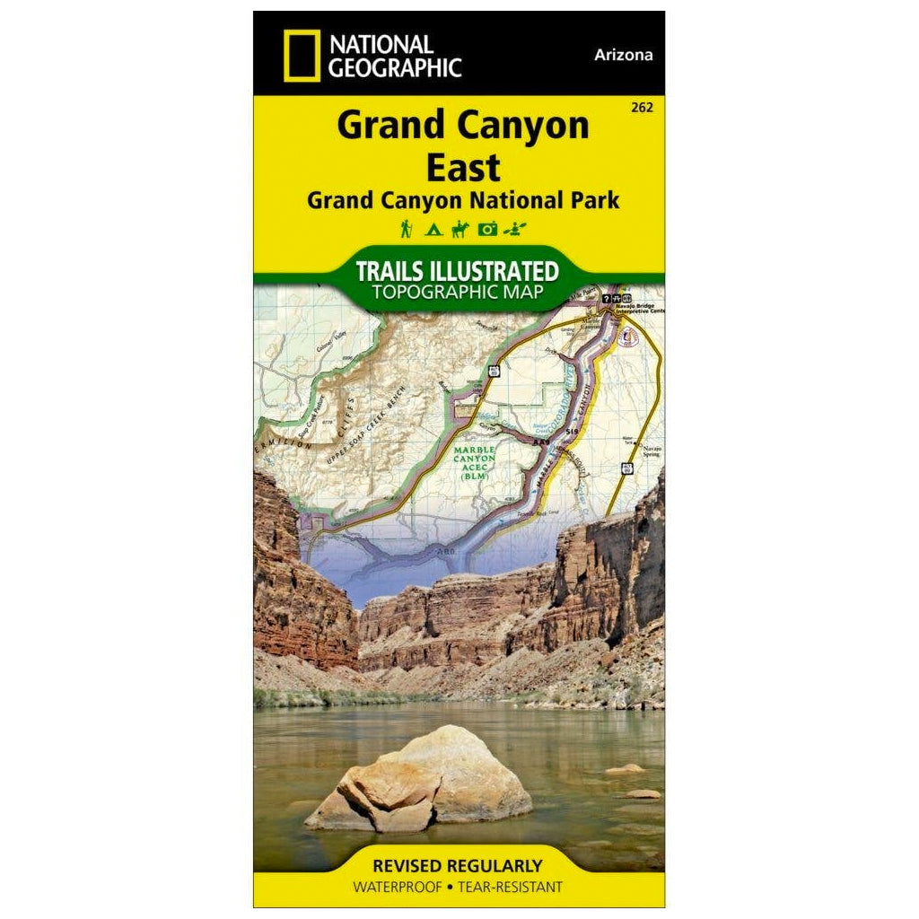
Explore the splendor of the Grand Canyon from Glen Canyon to Grand Canyon Village on the south rim with National Geographic's Trails Illustrated map of Grand Canyon East. Expertly researched and created in partnership with local land management agencies, this map features key points of interest including Paria Canyon-Vermilion Cliffs Wilderness, Kaibab National Forest, Saddle Mountain Wilderness, Marble Canyon, and the Colorado River.
With miles of mapped trails including portions of the Great Western and Arizona trails, this map can guide you off the beaten path and back again in some of the most breathtaking scenery in the world. A summary of suggested hikes, regulations, safety tips, and contact information will prove invaluable in your exploration of the region. Backcountry Use Areas are coded according to the degree of experience required. The map base includes contour lines and elevations for summits, and river mileage is noted for the Colorado River. Scenic byways are clearly marked for those wishing to take in the scenery by car. Some of the many recreation features include boat launches, ATV trails, campgrounds, scenic viewpoints, and interpretive trails.
Every Trails Illustrated map is printed on "Backcountry Tough" waterproof, tear-resistant paper. A full UTM grid is printed on the map to aid with GPS navigation.
Other features found on this map include: Cocks Combs, Echo Cliffs, Glen Canyon, Glen Canyon National Recreation Area, Grand Canyon National Park, Granite Gorge, Kaibab National Forest, Little Colorado River, Marble Canyon, Paria Plateau, Paria River, Point Imperial, Saddle Mountain Wilderness, White Mesa.


